Outdoor Education with GPS: A New Way to Explore and Learn
Taking education beyond the classroom gives students the opportunity to connect what they learn with the world around them. Outdoor activities have long been part of educational approaches, offering experiences that textbooks and classroom discussions cannot fully recreate. Today, GPS technology makes these experiences easier to organize, turning parks, city streets, historical landmarks, and natural environments into interactive learning spaces.
With GPS-enabled mobile devices, educators can create structured activities that combine exploration, observation, and problem-solving. Students can follow routes, discover information at specific locations, and complete challenges individually or in teams. This approach makes outdoor education more flexible and creates new ways to bring different subjects to life.
What Is Location-Based Learning?
Learning Through Real-World Locations
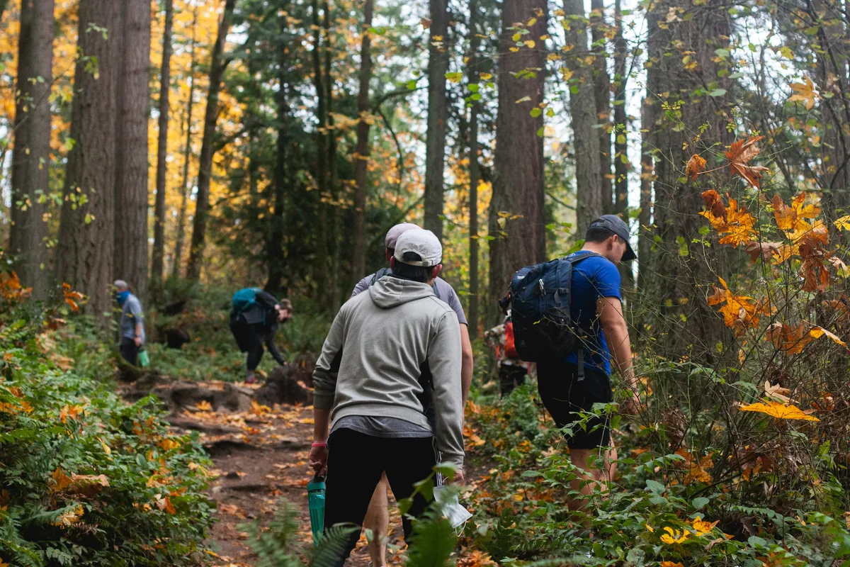
Location-based learning connects educational content with particular places. Instead of studying a subject only through written materials or presentations, students explore the environment where the topic can be observed directly.
For example, a geography lesson might take place along a city route, a biology activity could involve identifying plants in a forest, and a history assignment might guide students through important local landmarks. The physical location becomes part of the learning process rather than simply serving as a setting for an activity.
GPS technology makes this approach easier to organize. Educators can connect questions, instructions, audio explanations, photographs, and other learning materials to specific coordinates. When students reach a designated point, they can access the relevant content or receive a task related to their surroundings.
How GPS Learning Differs from Traditional Field Trips
Traditional field trips usually involve a teacher or guide leading the group through a planned route and explaining information along the way. While this can be an effective learning experience, everyone generally follows the same schedule and receives information at the same time.
GPS-based activities introduce more flexibility. Students can explore in smaller groups, complete tasks at their own pace, and interact directly with the locations they visit. Rather than simply listening to explanations, they might answer questions, take photographs, observe specific details, or solve problems connected to the environment.
Teachers can organize the activity in advance and follow participants’ progress without having to guide every group from one checkpoint to another.
How GPS Technology Works in Outdoor Education
GPS-enabled mobile devices make it possible to connect digital learning materials with real-world coordinates. Educators select locations for an activity and attach content or challenges to each point.
When students approach a designated location, the experience can prompt them to complete a task or explore relevant information. Depending on the activity, a checkpoint might contain:
- Multiple-choice questions and knowledge quizzes
- Open-ended questions about the surroundings
- Photography tasks and observation exercises
- Audio explanations and educational recordings
- Video instructions or evidence submissions
- Team challenges and problem-solving activities
The content can be adapted to different subjects, age groups, and educational goals. A simple activity might ask students to identify a particular feature in the environment, while a more advanced assignment could involve collecting observations at several locations and comparing the results.
Connectivity is another important consideration when planning an outdoor experience. Participants may need an internet connection to download the activity and its content before leaving. For locations with limited coverage, educators should check whether their chosen platform supports offline use and whether responses can be synchronized once an internet connection becomes available.
Preparing devices before departure helps avoid unnecessary interruptions during the activity.
Where Can Location-Based Learning Be Used?
GPS-powered outdoor activities can support a wide range of educational subjects. The most effective applications are those where the surrounding environment provides something meaningful for students to explore.
Natural Sciences and Environmental Studies
Nature offers countless opportunities for practical learning. Students studying biology, ecology, geology, or environmental science can investigate the subjects they encounter in their surroundings.
A GPS-guided nature trail, for example, could include checkpoints where students identify different plant species, examine rock formations, observe water sources, or document signs of local wildlife.
Teachers can attach questions and photography tasks to each location, encouraging students to record their observations instead of simply walking through the environment. These activities can also create material for later classroom discussions and assignments.
History and Cultural Heritage
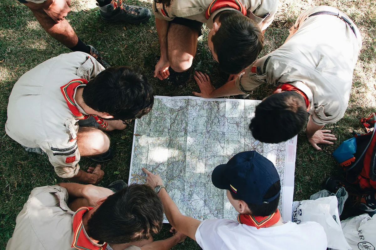
Historical locations provide a natural setting for learning about the past. Visiting monuments, museums, archaeological sites, and heritage buildings allows students to connect historical information with the places and objects associated with it.
A location-based activity could guide a class through several landmarks, with each checkpoint presenting a historical question, a short explanation, or a task related to the site. Students might compare historical photographs with the present-day environment, identify architectural details, or investigate the significance of a particular location.
This approach can also be useful for cultural institutions and heritage organizations that want to make educational visits more interactive for younger audiences.
Geography and Urban Exploration
Cities and local communities can become outdoor classrooms when students are encouraged to investigate their surroundings.
Location-based challenges can introduce topics such as urban development, infrastructure, land use, local history, and environmental conditions. Students might follow a route through different neighborhoods, document examples of public infrastructure, or compare how different areas of a city are used.
Similar activities can be created on university and school campuses. Students can explore important facilities, discover interesting locations, and complete tasks connected to geography or other subjects.
Physical Education and Interdisciplinary Activities
Outdoor learning naturally combines education with movement. Students walk between checkpoints, navigate routes, make decisions about where to go, and interact with their environment.
These activities can also bring several subjects together. For example, one outdoor challenge might combine geography questions, nature observations, language exercises, and physical tasks. This creates an opportunity to apply knowledge from different areas within a single experience.
Planning a Successful GPS-Based Learning Activity
Technology can make outdoor education easier to organize, but a successful experience still depends on thoughtful preparation. Before introducing a GPS-guided activity, educators should consider several practical factors.
Explore the location in advance. Visit the area before taking students there. Check the planned checkpoints, evaluate GPS performance, identify possible obstacles, and make sure the route is suitable for the participants. Consider accessibility, weather conditions, and general safety.
Connect every checkpoint to a learning objective. Each location should have a clear purpose. Rather than adding stops simply to make the route longer, choose places that help students understand or investigate the subject being taught.
Organize students into small teams. Groups of three to five participants can provide a good balance between collaboration and individual involvement. Different responsibilities, such as navigation, photography, and recording answers, can help ensure that everyone contributes.
Include time for reflection. Completing the outdoor challenges is only part of the learning process. After the activity, give students an opportunity to discuss their observations, review their answers, and connect what they discovered with the topics covered in class.
Choose an appropriate digital platform. Look for tools that allow educators to create location-based challenges, add different types of content, organize team activities, and review participant progress. The platform should match the environment, available devices, and educational objectives.
Why Location-Based Learning Is Worth Exploring
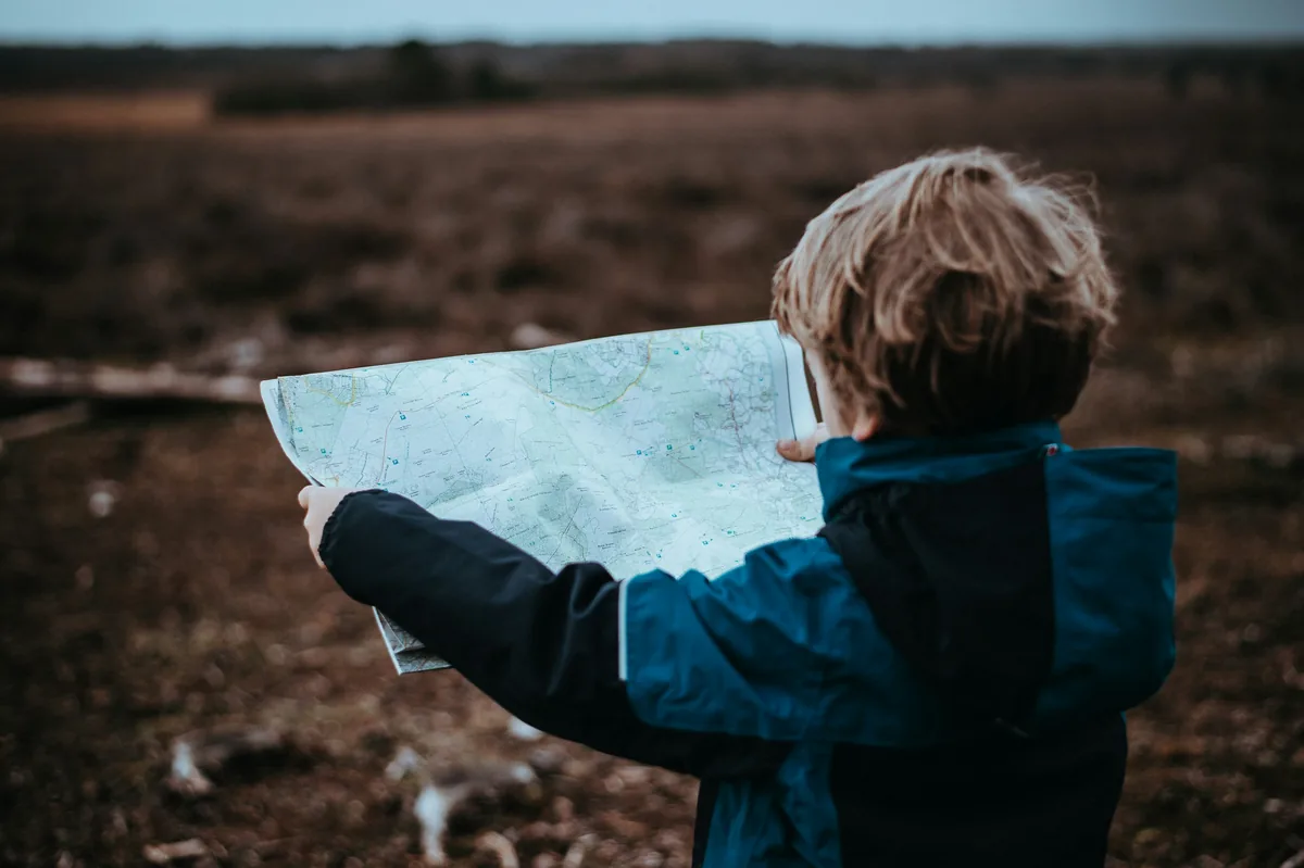
Outdoor education offers something that traditional classroom activities cannot always provide: direct interaction with the subject being studied. Students can see natural features, investigate historical places, observe their communities, and apply theoretical knowledge in real situations.
GPS technology makes these experiences easier to structure. Educators can create routes with specific learning objectives, distribute activities across multiple locations, and give students more independence while maintaining a clear educational framework.
The approach is also adaptable. A short activity on a school campus can introduce students to location-based learning, while a larger project can involve nature trails, city exploration, or visits to cultural and historical sites.
Conclusion
GPS technology is opening up new possibilities for outdoor education by connecting digital learning materials with the physical world. Through location-based challenges, interactive checkpoints, and guided exploration, educators can create activities that encourage students to observe, investigate, collaborate, and apply their knowledge.
The purpose is not to replace classroom teaching or traditional field trips, but to expand the ways students experience education. By combining structured learning with real-world discovery, schools and educational institutions can make outdoor activities more engaging, practical, and meaningful.